The Mystery Walls of Milpitas
High on the hills above San Francisco Bay lies an enigma. A mystery that nobody has been able to solve, not even scholars. Stacked stones, making up (perhaps ancient) crude walls that stretch for miles and miles.

The remnants of the ancient stone walls are known as the East Bay Walls, the Berkeley Walls and the Mystery Walls of Milpitas, among other names. No one knows how old they are, who built them, or why. Even Native Americans and early settlers were puzzled as to their origins. The hills or walls aren’t giving up the secret either.
The walls extend for many miles along the hill crests from Berkeley to Milpitas and beyond. They stretch all the way to San Jose (50 miles south) and also extend out to Mt. Diablo where a strange stone circle (30 feet in diameter) was discovered.
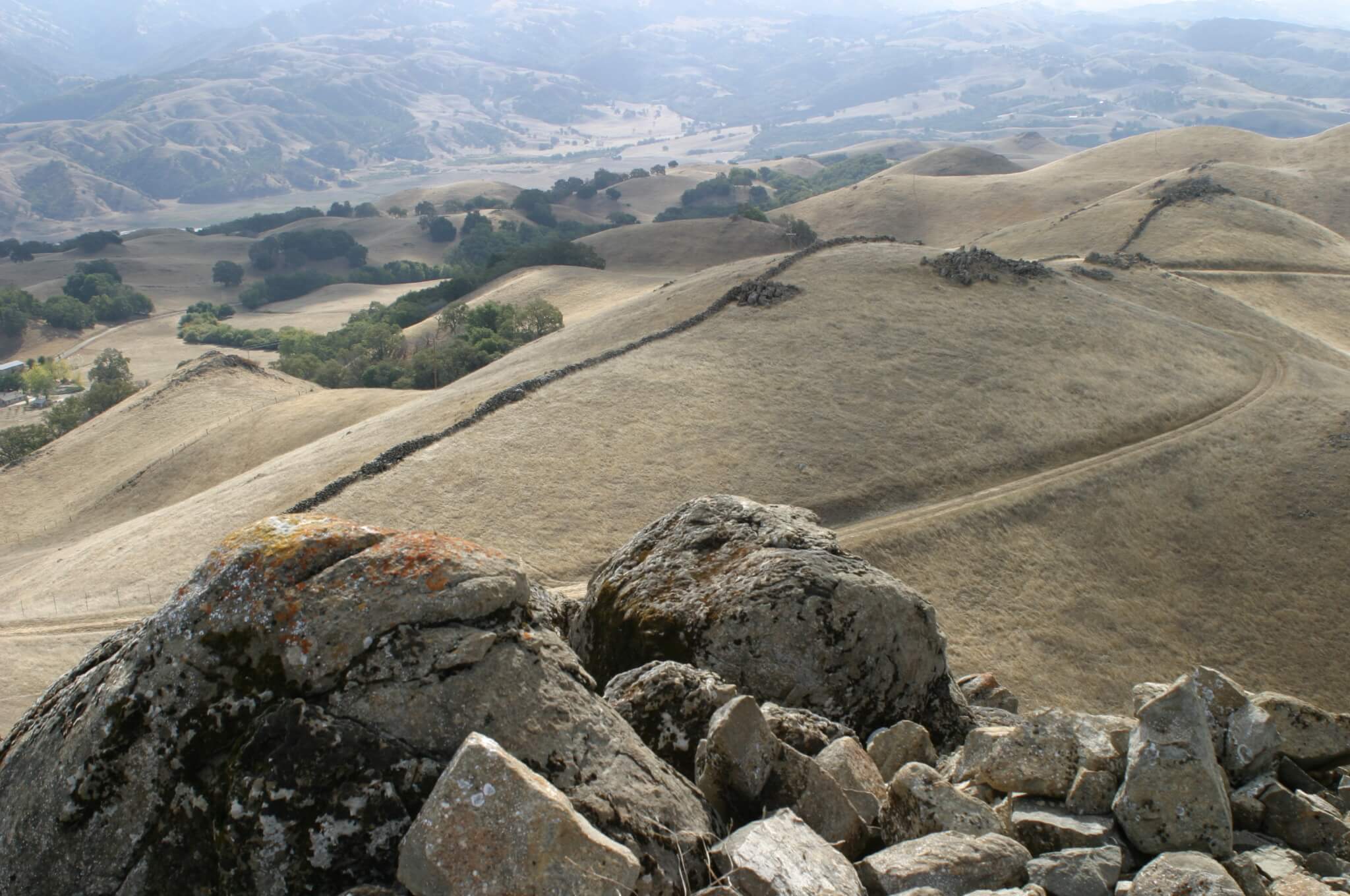
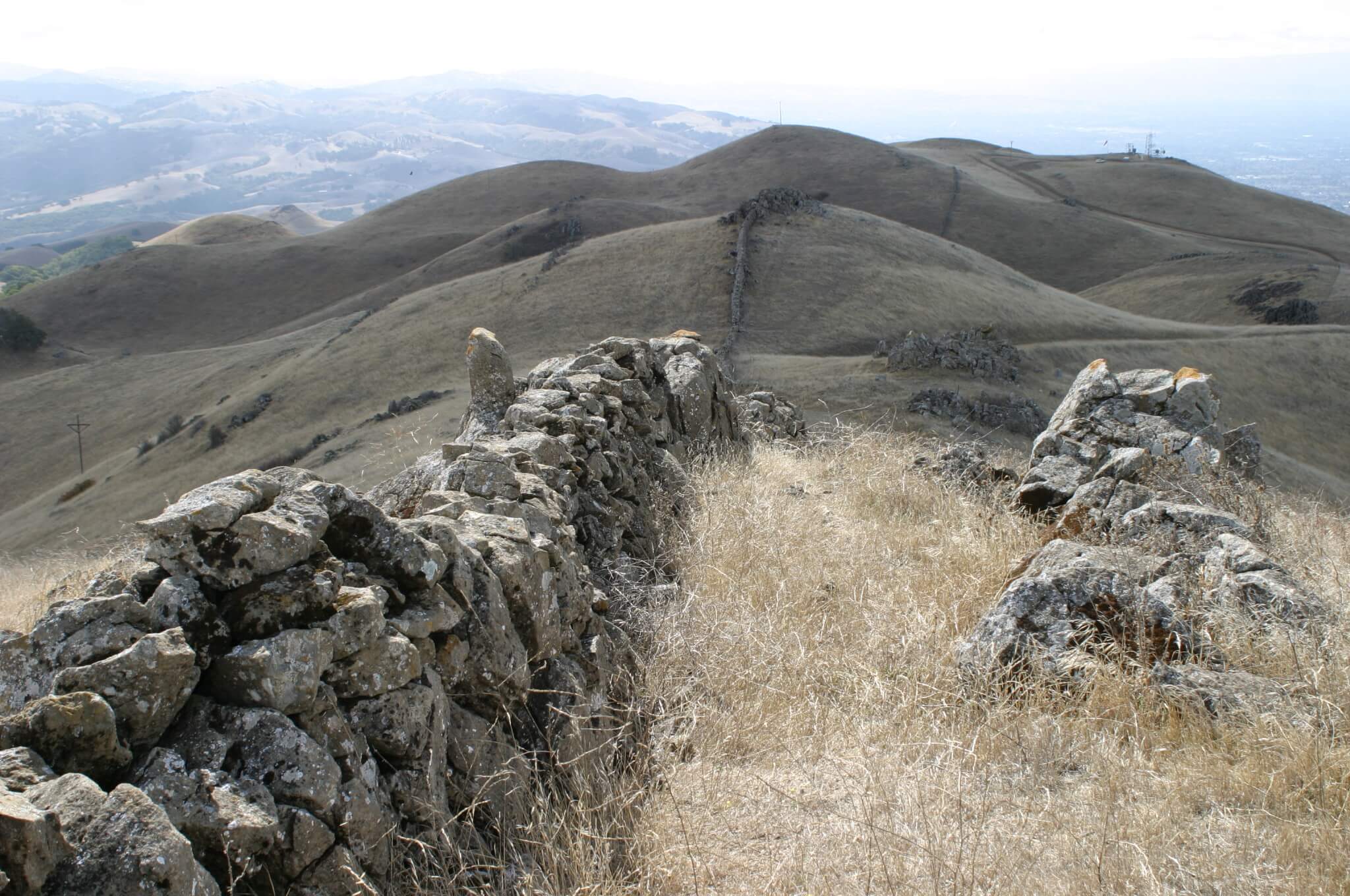
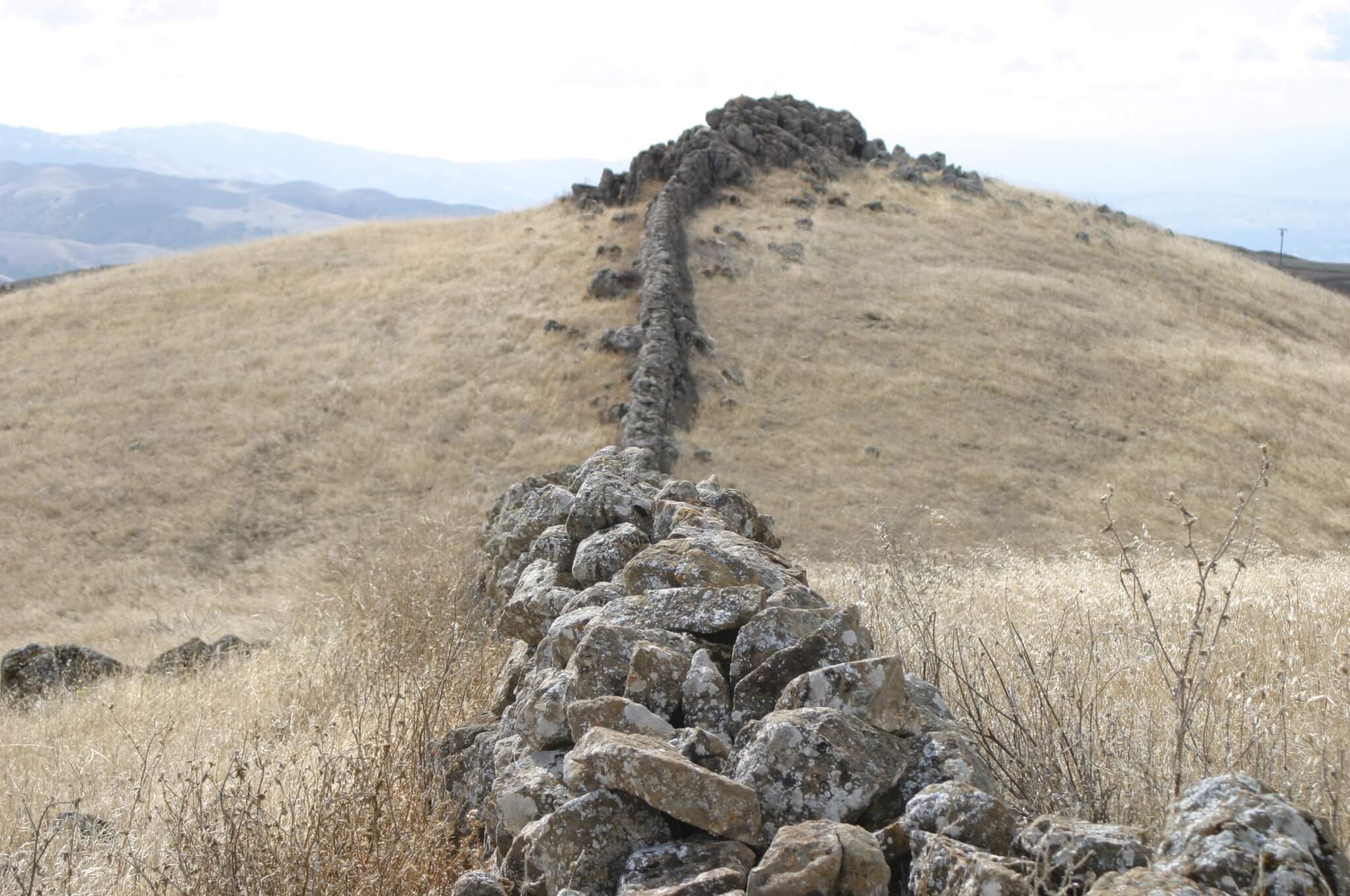
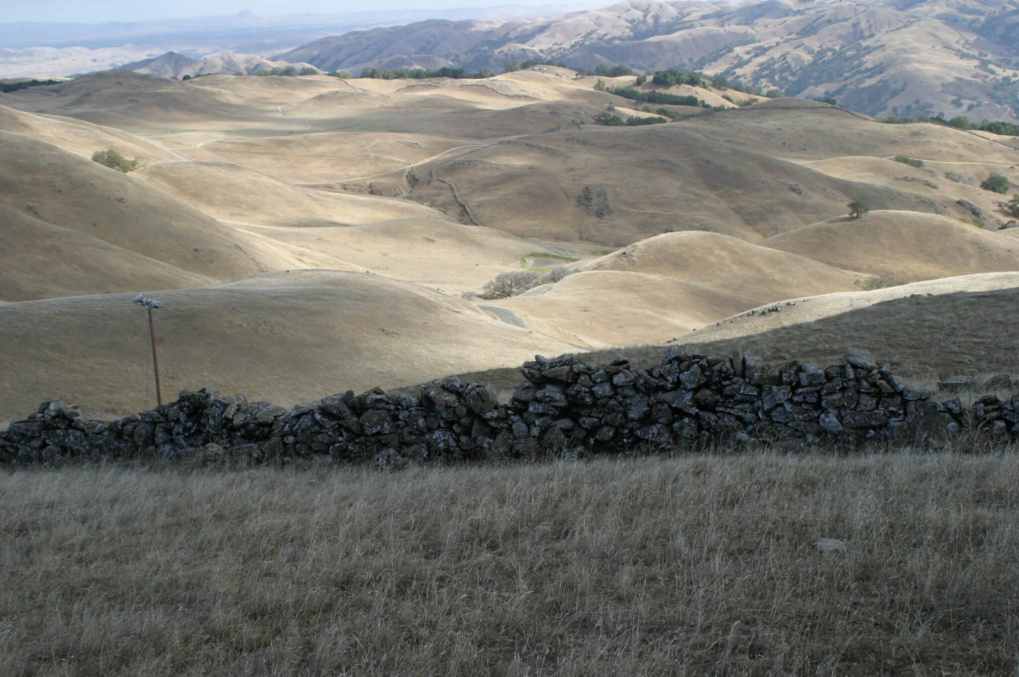
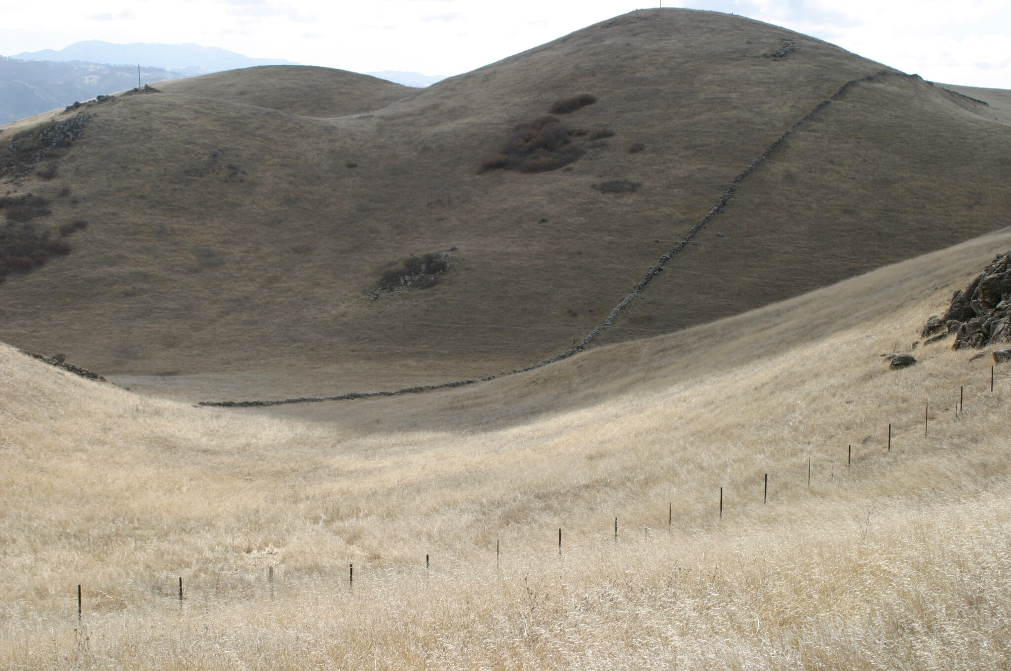
Some of the walls have been destroyed over the years, but large stretches still exist. In some places the walls twist and turn abruptly and climb large hills. However, they don’t appear to enclose anything or serve a practical purpose.
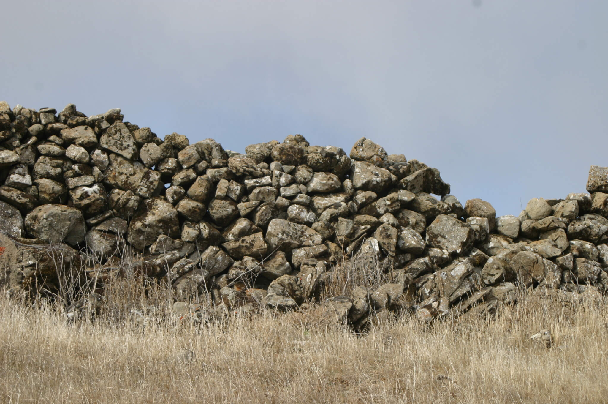
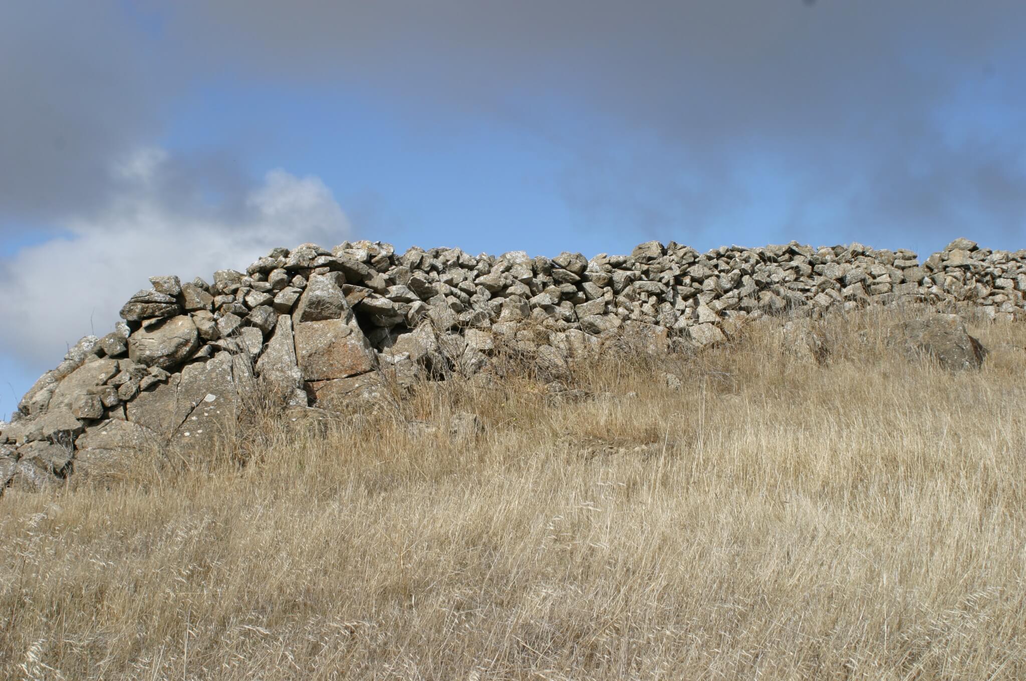
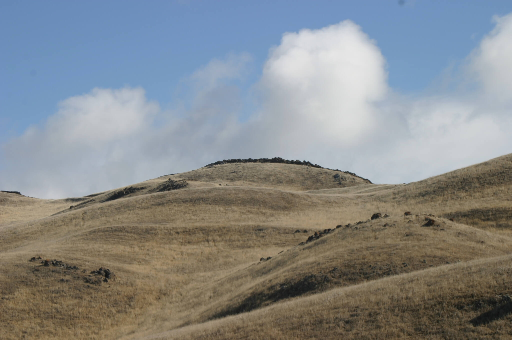
The best-preserved sections of the walls can be found on Monument Peak, which is east of Milpitas. In some places, the walls have been known to reach a height of 6 feet and a width of 3 feet. In one location, the walls form a spiral that is 200 feet wide and circles into a boulder.
How old are the walls?
The problem with determining the providence of the walls is that nobody bothered to keep any records of building them. Neither the Spanish settlers who saw them, nor anyone since has been able to tell who built the strange walls or when.
The oldest published mention of the “mystery” dates to March 8, 1886 in the San Francisco Chronicle.
“Half a mile east of Grizzly Peak stand the remnants of stone walls which have long baffled the researches and curiosity of antiquarians,” the story said. “By whom they were erected, when and why is an unsolved mystery.”
Some sections of the walls have been torn apart by acorns that fell within cracks, sprouted and became mature trees, and then died and decayed. This (process) would indicate the structures have been around for a long time.
The rocks used in the walls are local limestone or basalt. They’ve also been stacked or piled, not mortared or cut to fit. So, we can rule out the Maya or Inca. Most of the stones are small enough that one person could place them easily; others would have required a crew to put in place. Most are covered with lichens.
What was their purpose?
Although they’ve been around at least a few hundred years, no serious scholarly study has ever been undertaken to solve the mystery. Those that have given it some thought lean toward the walls being used for ranching or agricultural purposes. Others surmise that they may have been property lines or even defensive structures. In 1904, UC Berkeley professor John Fryer suggested that the walls might have been made by migrant Chinese, who traveled to California before the Europeans. Some specialists have also noted that the walls look similar to other ancient structures found in rural Massachusetts, Vermont, and Maine.
Hiking to the mystery walls of Milpitas.
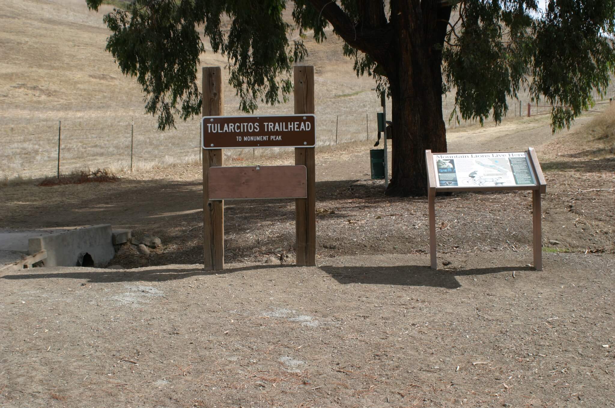
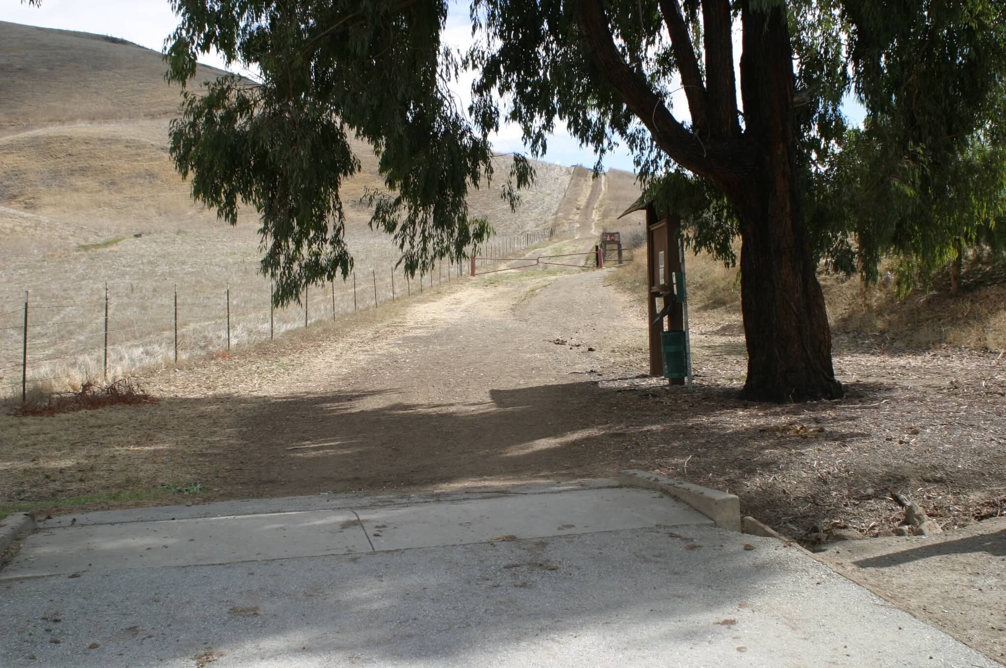
Ed Levin County Park is one of the better places to hike up to the walls. The Park is accessed via Calaveras Blvd. (exit 8B on the I-880 or exit 8 on the I-680). Follow the signs to Ed Levin County Park and park next to the dog park.
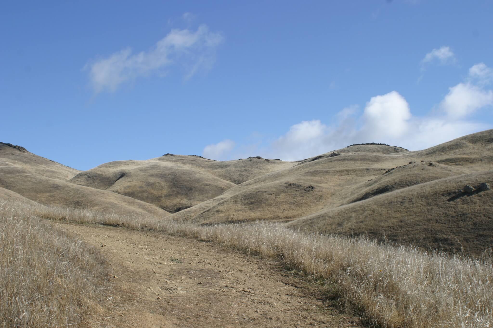
To ascend, follow trail signs for the Tularcitos Trail, Agua Caliente Trail and Monument Peak Trail. Peak access can be confusing. Take the gravel path that veers to the right from the summit trail post for about 100 yards, and then turn left on the dirt trail. The gravel path is marked with a private property sign, but hiker access is allowed. To descend, retrace your steps or take the Agua Caliente Trail (as marked by the summit trail post) to the Calera Creek Trail. In total, you’re looking at about a 9-mile round trip hike, but it can be longer if you want to explore the area. The elevation gain to Monument Peak is 2,290 feet. Dogs are okay – on leash.
The hike is rated as ‘strenuous’ and there are no water sources. It also gets quite hot in the summer months.
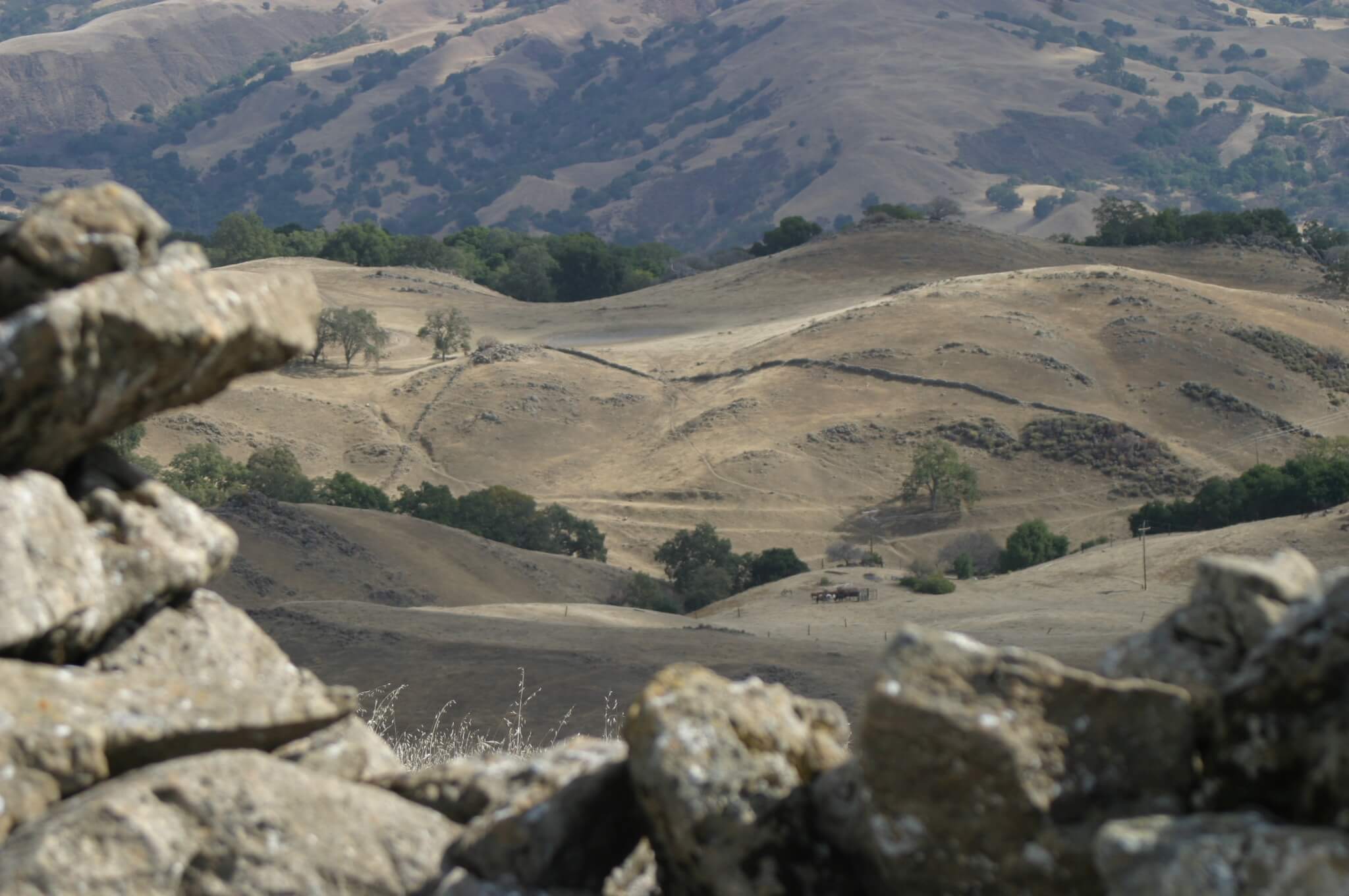
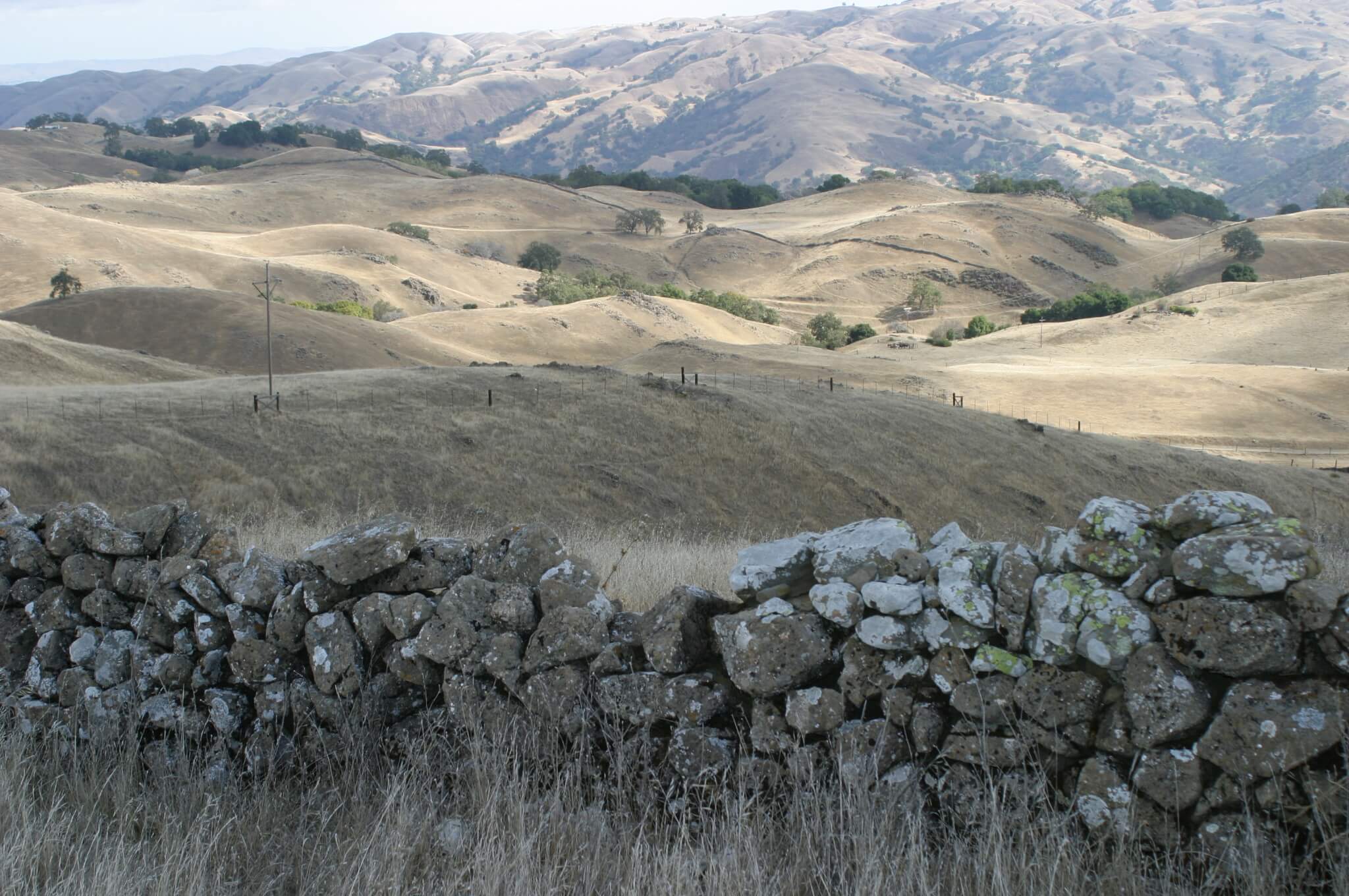
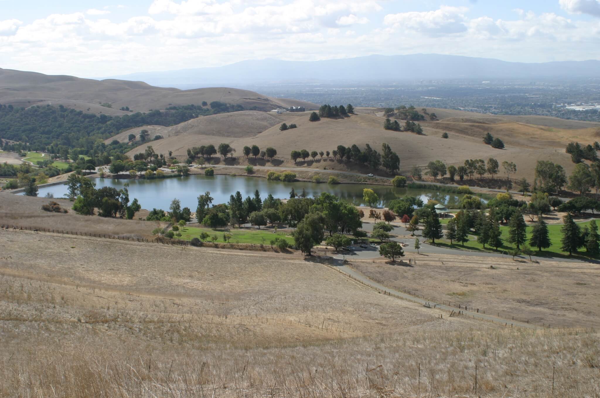
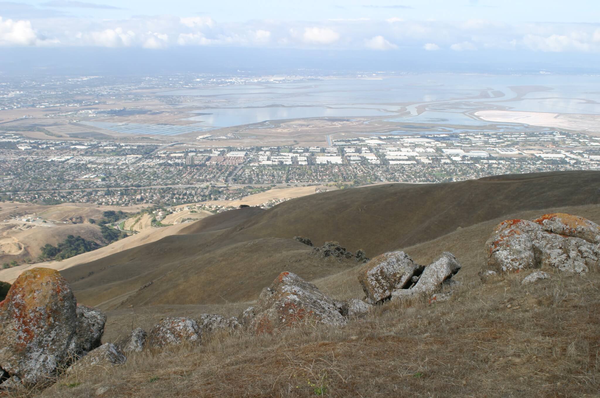
Before too long you’ll have a nice view of Ed Levin County Park.
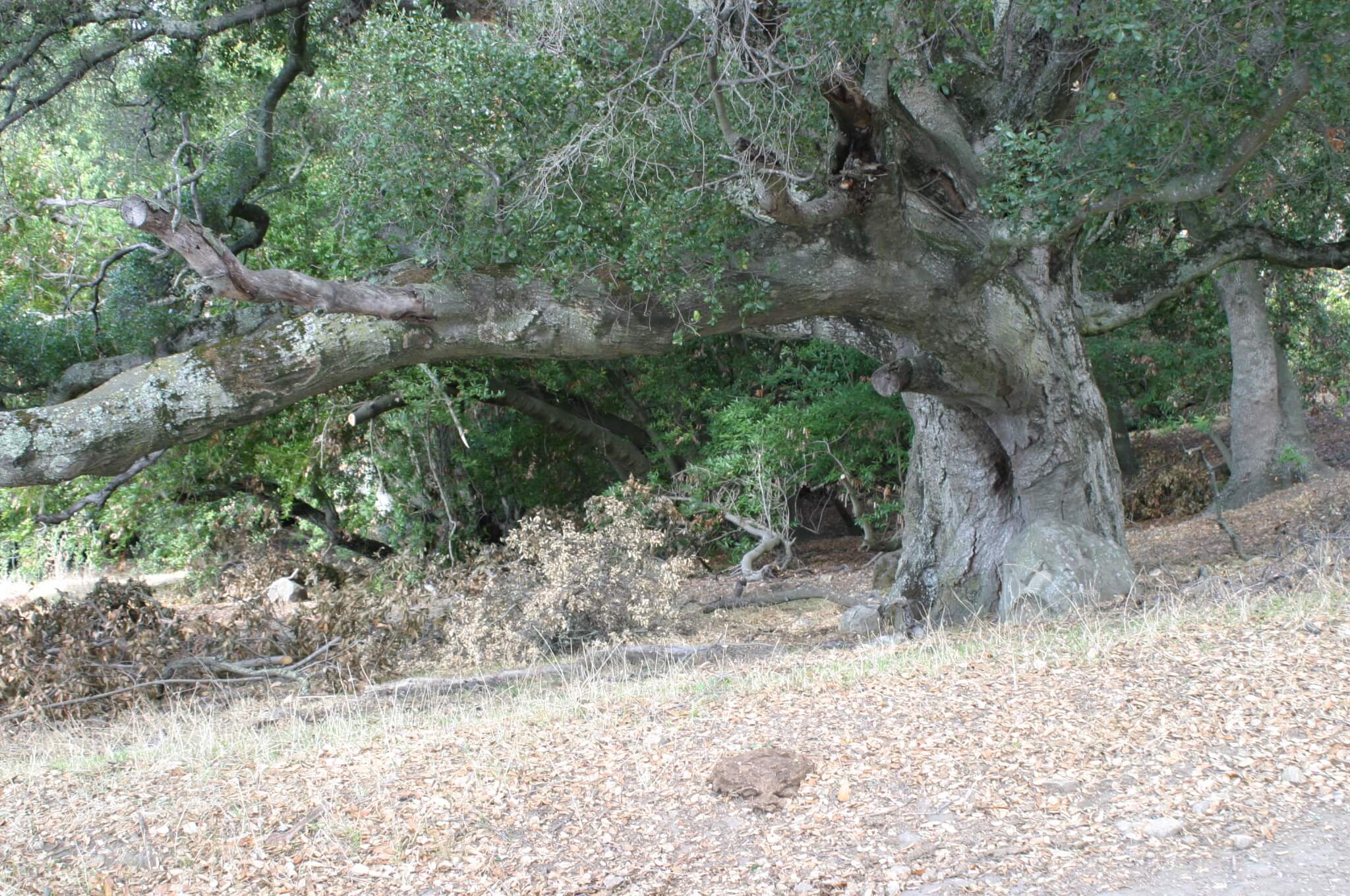
You’ll even pass by giant ancient oak trees. Maybe they know who built the walls.
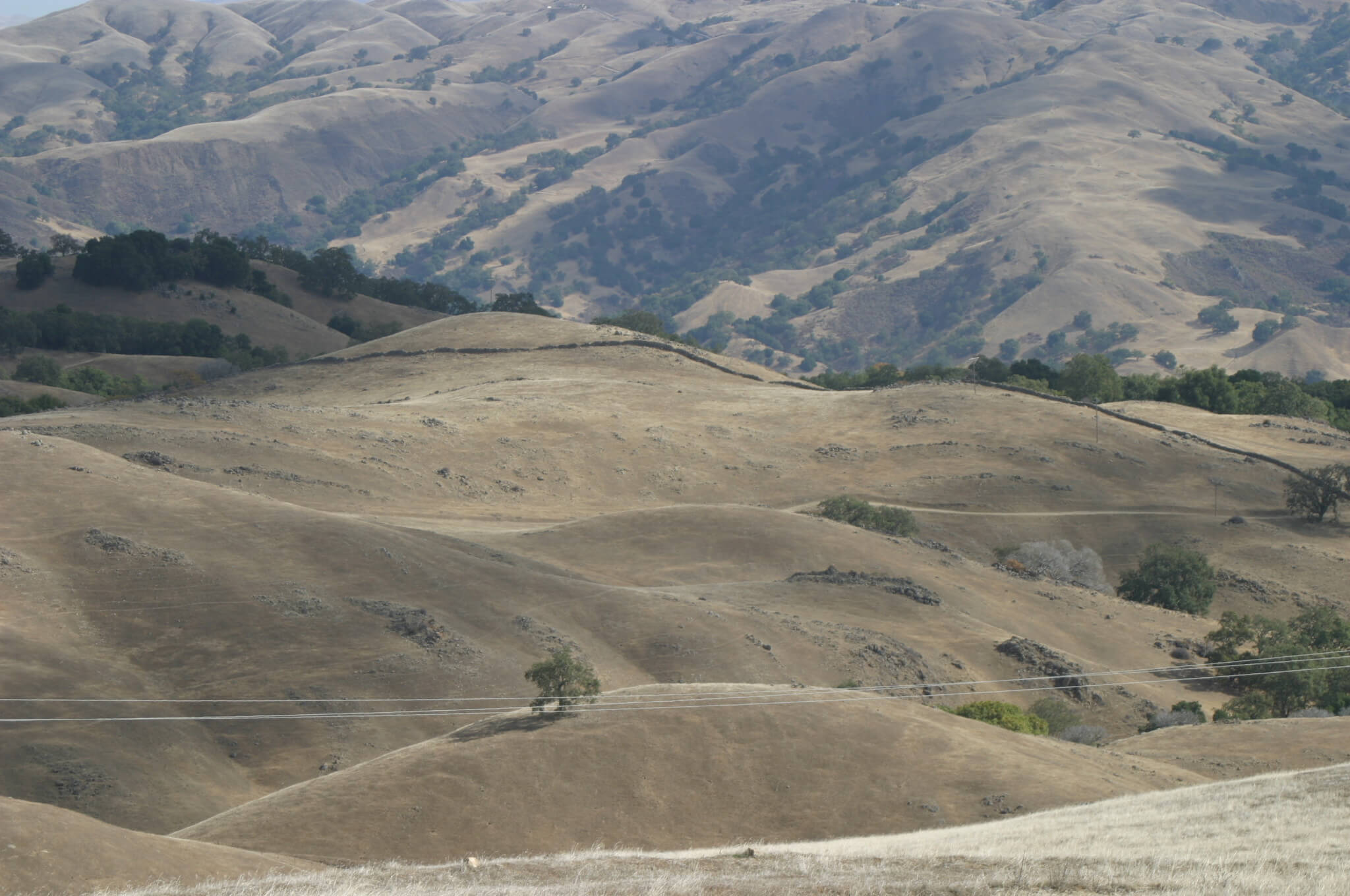
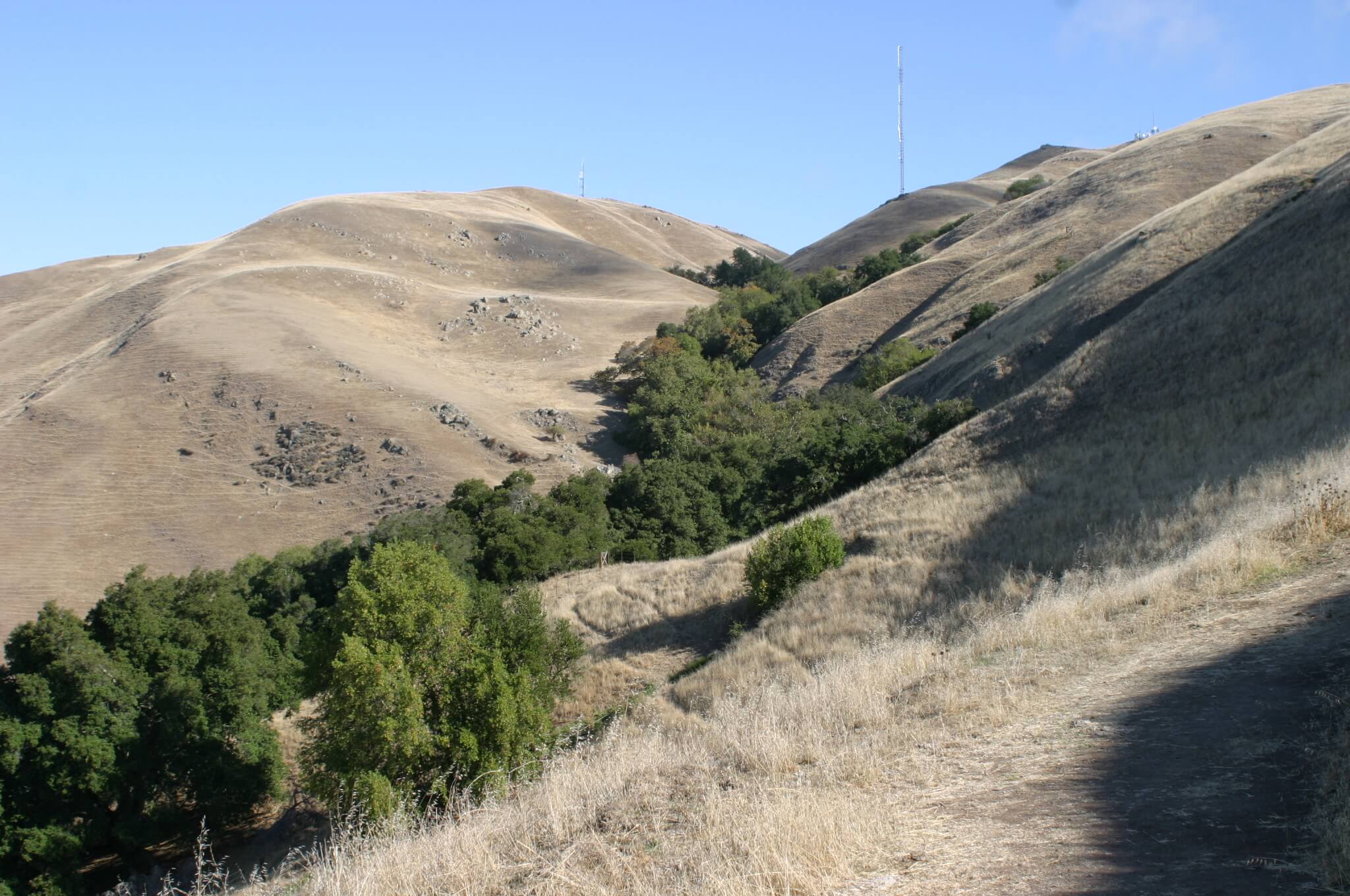
Some walls will start to appear as you approach the ridge top.
Sweeping views of the bay and surrounding area await you at the top.
Where to camp if you plan to visit.
If you want to camp nearby, there are a few campgrounds within an hour or so of the walls. To the north: Anthony Chabot Regional Park, Del Valle and Mt. Diablo State Park. And to the south: Henry W. Coe State Park and Coyote Lake Park Lakeview.
Have fun and be sure to also leave a comment (and/or your solution) about the Mystery Walls of Milpitas!
3 Replies to “The Mystery Walls of Milpitas”
Visit full-site to leave a comment
I had a friend who would like to trace the walls off and on. He was of Welsh origin, an American from Washington State. He thought it was likely Native origin. You didn’t say much if you have info of Native practices in this.
Wow, what a nice read about the mysterious Milpitas. Would love to visit here sometime!
Thanks Kriti,
Hopefully you get the chance!